Fields of application:
3D Urban Visualization, city project and planning, street’s profiles photographic 3D interactive navigation in real time, guided tours.
Description:
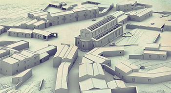
The solutions for urban centres concern 3D models as big as entire cities, based solely on technical surveys (aerophotogrammetric mapping, laser surveys, etc..) and/or technical documentation (plans, sections and profiles). The final product then is a direct evolution of the technical base which has the same accuracy and therefore the same technical value.
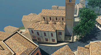
The 3D urban models include the modelling of all the items in the map such as buildings, roofs, roads, sidewalks, walls, poles, tree vegetation, land cover.
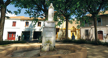
The facades of buildings on public roads are first photographed, then, optimized and straightened to get the texture to apply to the 3D model. The result is a representation of the urban environment realistic and detailed. The textured 3D model in all its parts is then processed to obtain real-time interactive navigation and photorealistic rendering.
3D model high technical precision and photographic survey creation tools enable to preview, design and optimize any urban planning project.
Media delivery:
Real-time 3D interactive tour is available on-line directly on the web (using plug-ins), and off-line (using executable WIN or MAC).
3D models of real-time blocks available in Adobe 3D PDF or 3D formats on request.
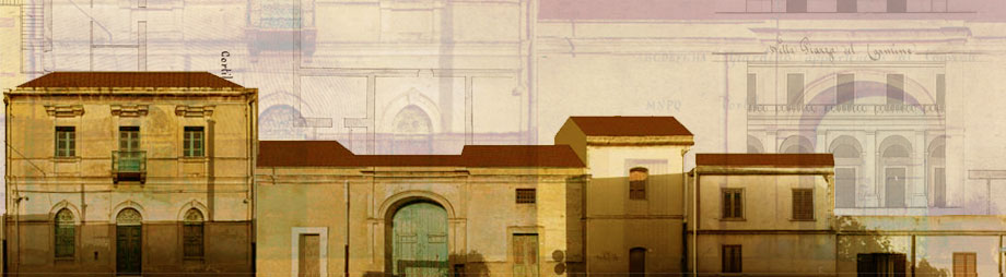
Street profiles rendered in CAD format (DWG or DGN) for: consulting, measurement,
and design, optimized for printing on scale 1:200.
Some products made in this area:
Old town of Settimo San Pietro.
Part of urban center of Villacidro.
Urban center of Olbia.
Castle District in Cagliari.