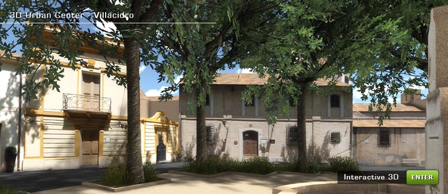
Project
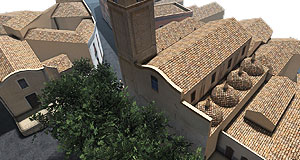
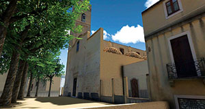
Villacidro’ s historic center partial reconstruction.
The project consists of a navigable, real time, 3D reconstruction from two separate viewpoints, one at ground level (3D Walkthrough), the other a bird’s view.
The realization of the simulation was based on a 1:500 scale aerophotogrammetric map, while at street level a photographic survey was carried out to obtain the buildings’ texturing.
Further details follow in the description.
Project steps:
- Street level photographic survey.
- 1:500 scale mapping optimization.
- Map transformation in triangulated mesh model.
- Mesh optimization.
- Creation of 3D model.
- 3D model texturing.
- Insertion of a public park.
- Insertion of the model within the 3D graphics engine.
- Implementation of the sound effects.
- Study of 3D navigation in the model.
- Map insertion of displayed area.
- Design and construction of lighting and photorealistic effects.
- Programming the interactive multiplatform 3D engine.
- Publish the simulation on the Web.