Project
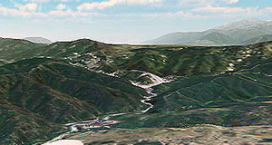
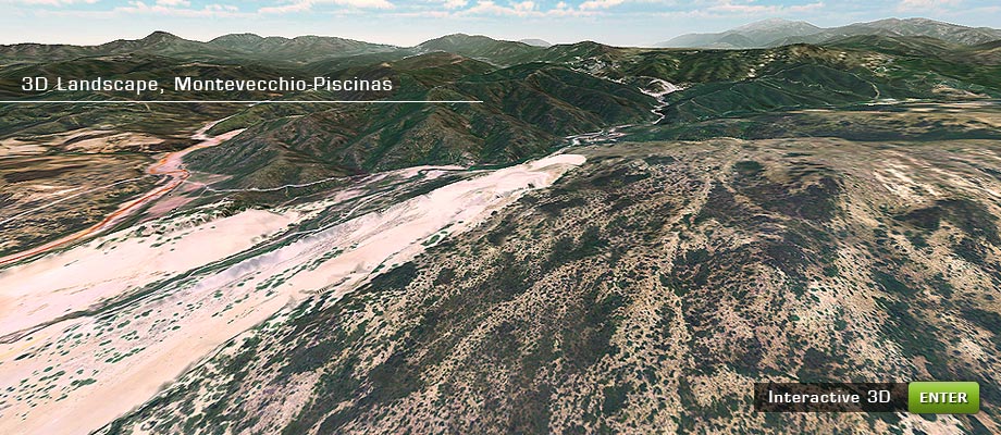
Montevecchio-Piscinas mining district 3D bird’s eye view.
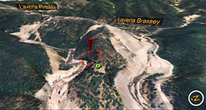
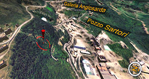
The project involves a 3D landscape reconstruction of the area between Montevecchio’s mining sites (located in the territories of Guspini and Arbus, Sardinia, Italy ) and Piscinas beach.
In the simulation, mining structures information sheets have been included.
For the project a 3D digital terrain model with triangular mesh, based on maps in scale 1:10.000, was made. It was then textured with orthophotographs.
Further details follow in the description.
Project steps:
- 3D terrain modeling based on 1:10.000 scale maps.
- 3D model texturing.
- Insertion of the model within the 3D graphics engine.
- Programming the interaction of information sheets.
- GPS and compass data integration.
- Insert an altitude indicator in the model.
- Programming of interaction and navigation in the model.
- Interactive multiplatform 3D engine programming.
- Publishing the simulation on the Web.